🌿
BluSarg
Detect, monitor and forecast sargassum movement with field reports, review workflows and coastal risk context.
BluCAIRI unifies coastal data, AI, and field intelligence to deliver actionable insights across ocean, coast, and communities, while protecting sensitive locations and operational details.
Purpose-built tools that work together across fisheries, coastlines, environmental protection and operational response.
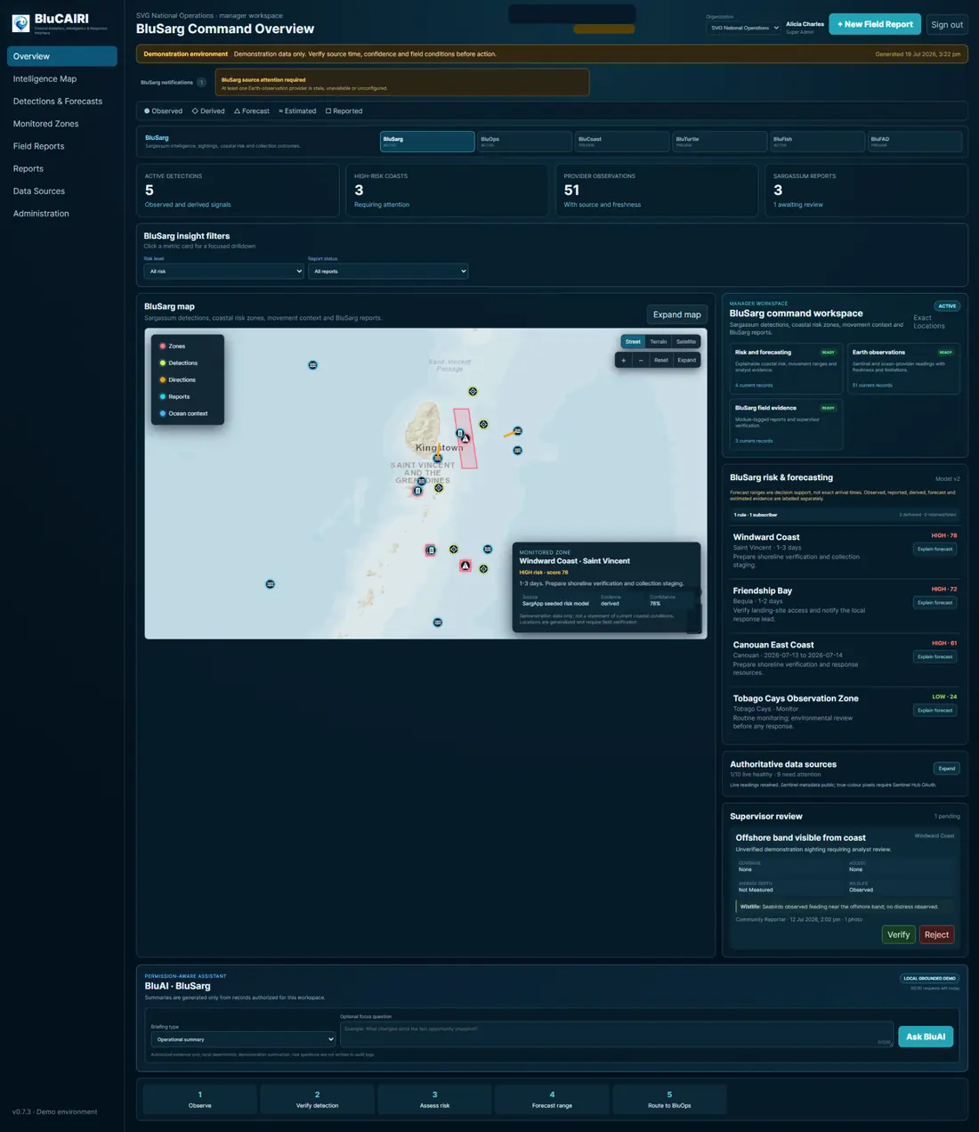
Detect, monitor and forecast sargassum movement with field reports, review workflows and coastal risk context.
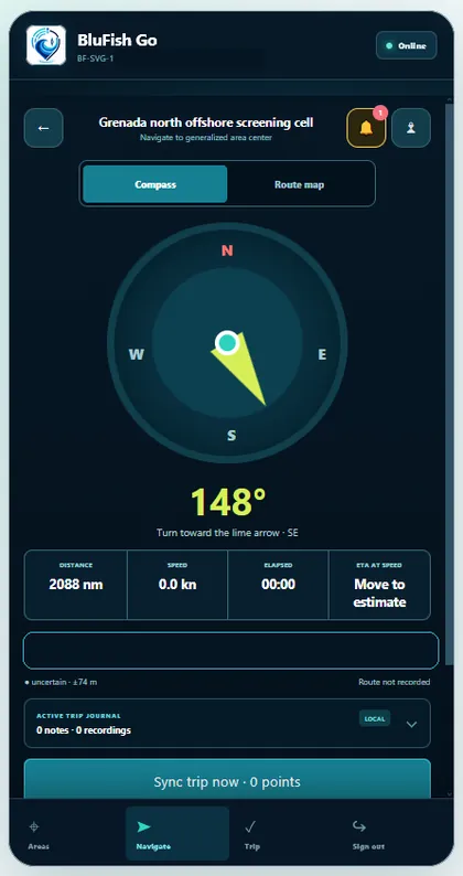
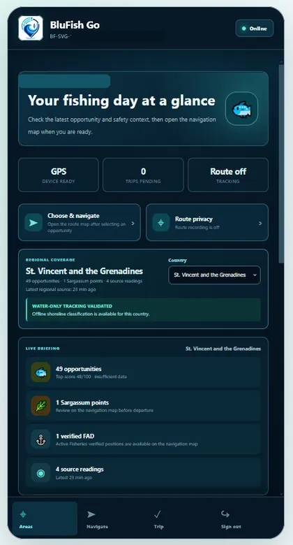
Support fishers with opportunity context, privacy-aware navigation, trip tools and streamlined mobile workflows.
Track turtle observations, habitat indicators and environmental safeguards with protected access rules.
Manage and verify FAD records with secure, traceable entries and controlled fisheries visibility.
Monitor shoreline conditions, coastal zones, community reports and broader environmental context.
Coordinate review queues, task routing, approvals and incident response across approved organizations.
Public-facing visuals highlight the platform experience without compromising exact locations, operational privacy or personally identifying information.
Operational intelligence for coastal monitoring, detection review, risk forecasting and early response planning.
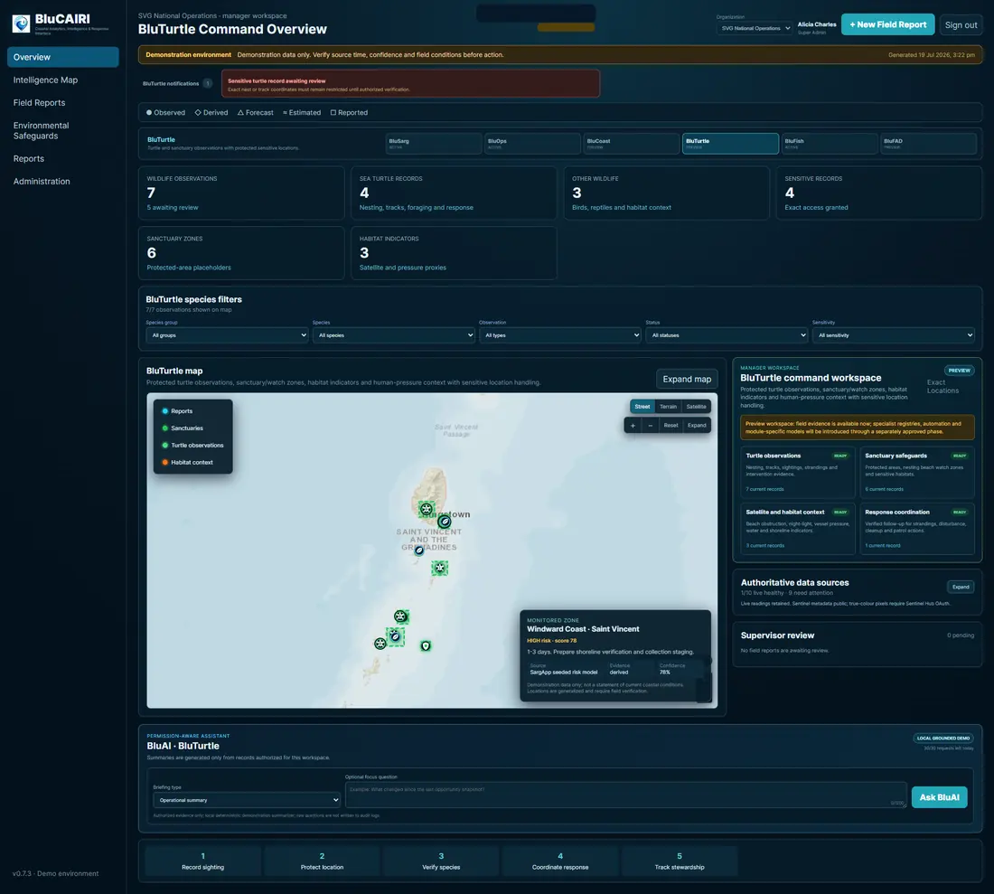
Conservation-focused monitoring with protected habitat handling and controlled visibility for sensitive records.
A simple fisher-facing experience that presents daily opportunities, sargassum context, FAD awareness and route privacy.
Guide approved users toward generalized area centers without publishing exact fishing spots or live operational coordinates.
Explore how BluCAIRI supports coastal monitoring, fisheries, sargassum response and field coordination. Select a question below, then press Send to view BluAI’s response.
BluCAIRI helps organizations share useful coastal intelligence while safeguarding protected fishing zones, sensitive wildlife habitats, personal information and restricted operational records.
One coordinated path from first observation to field response.
Collect reports from satellites, sensors, field teams, communities and approved partners.
Review source confidence, evidence quality and context before intelligence is used operationally.
Evaluate risk, urgency and environmental or fisheries implications across monitored zones.
Turn verified evidence into outlooks, guidance, planning support and response cues.
Coordinate tasks, notifications, field action and stakeholder follow-up inside one secure interface.
Speak with the WindBlow team about sargassum monitoring, fisher support, FAD tracking, wildlife safeguards, coastal intelligence, BluAI or a tailored BluCAIRI demonstration.
Complete the form and select “Send Secure Enquiry.” Your email application will open with the enquiry prepared for the WindBlow team.